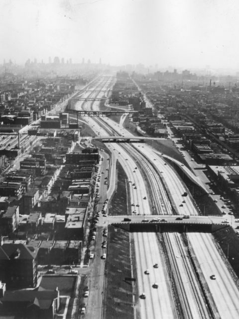
Transit planners often look for the path of least resistance but this more often than not reduces the effectiveness of transit. Transit should be built where it will be most effective not where it’s cheapest to build.
Tag: New York (page 3)
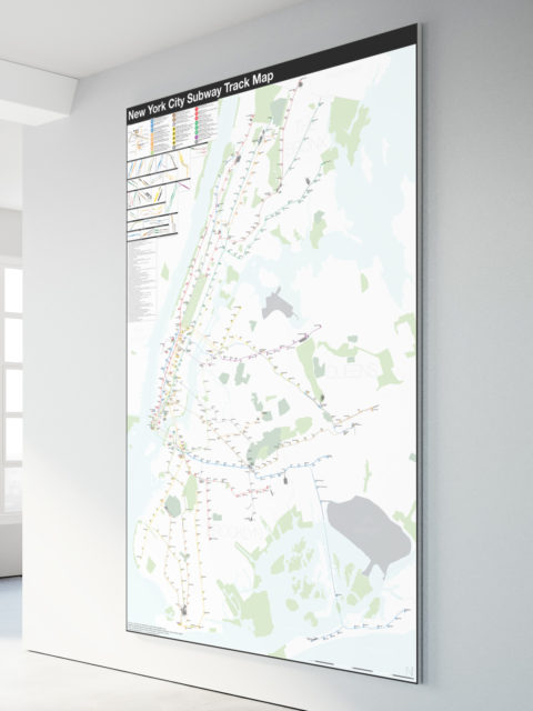
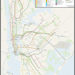
NYC Subway: Complete and Geographically Accurate Track Map
Collecting every historical map I could find, using GIS data, satellite imagery (both current and historic), YouTube videos of fan trips, my own observations looking out the window of trains through tunnels, and talking to retired track workers I was able to draw what I believe to be the most accurate track map of the NYC Subway ever.
Building a better city: QueensWay vs Subway
The abandoned Rockaway Branch rail road in central Queens is pitting transit advocates against the proposed QueensWay park. Both sides have their points and both sides want a better city. So why are they fighting against each other?
Fixing the Myrtle-Broadway Problem
As more and more people move along the M train the limitations of the current junction at Myrtle-Broadway will soon need to be addressed. The MTA is undergoing a rebuild of the viaduct which hold the track but it will not address the bottleneck. Here’s how the MTA could do so.
The L Train Shutdown: Connecting the G and J/M/Z
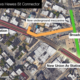
Due to a quirk in history there has never been a free transfer between the G train and J/M/Z trains. With the looming L train shutdown fixing this connection would go a long way in helping mitigate the disruptions.
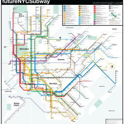
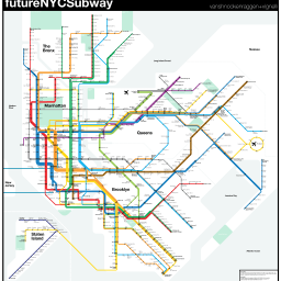
futureNYCSubway 2016
As the major subway expansion projects of the last 15 years begin…
futureNYCSubway v4
Two years ago I released an update for my futureNYCSubway series. Version…
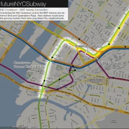
The futureNYCSubway: Expanding the Crosstown Line
The problem with the G train Many words have been written about…
The futureNYCSubway: A Second L Train
Anyone who takes the BMT Canarsie Line (the L train to most…
futureNYCSubway v2
The first futureNYCSubway was more a look at what had been proposed…
The High Line Effect: Thoughts on Reusing Infrastructure
It amazes me that I’ve had this website, in one form or…
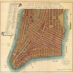
Gramercy Before Gramercy, 1807 vs 2013
To even the most seasoned New Yorker the city south of 14th…

