When Duke Ellington wrote “Take the A Train” he wasn’t talking about…
Tag: New York (page 2)
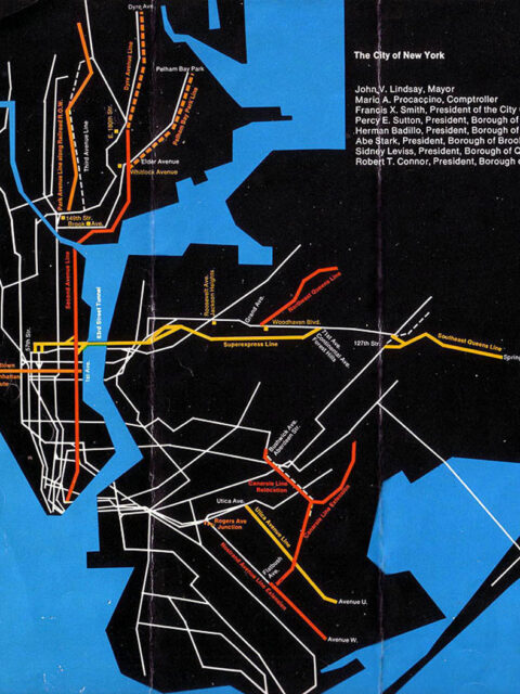
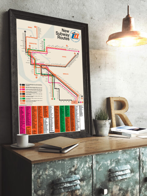
MTA Program for Action Service Guide
I recently went down a bit of a rabbit hole reading up…
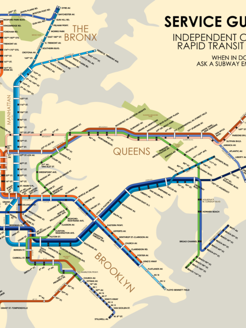
IND Service Guide: 1953
Celebrating an historic cartographer with a fantastical future map from 1953.
Serving Southeast Queens Part 2
In part one of this series I looked at the long, tortuous…
A quick look at the MTA’s 2025-2044 20-Year Needs Assessment
Early this morning the MTA quietly published the initial outline of their…
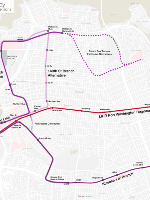
Much ado about Flushing: Regional Rail and Extending the 7 Train
A holistic proposal to enhance and expand transit into Flushing, Queens. This post was written with the Tech Transit Assn.
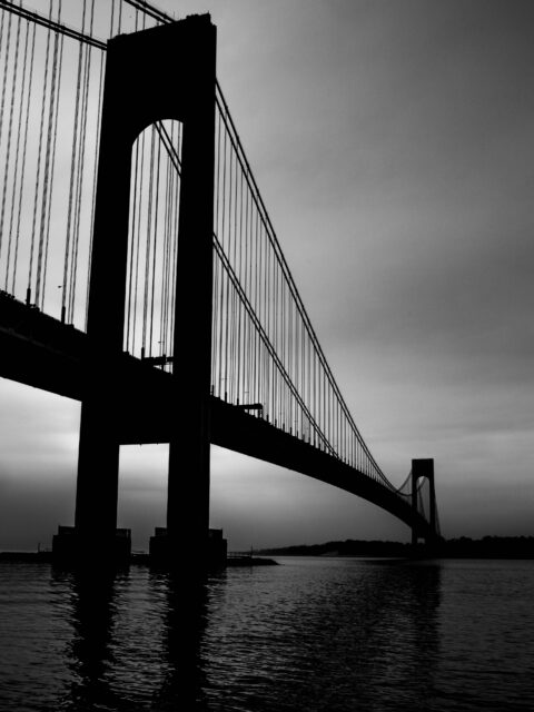
A Tunnel Too Far, Part 1: Staten Island’s Failed Pipe Dream
The first in a two-part post about the history and possible future of a subway tunnel to Staten Island.
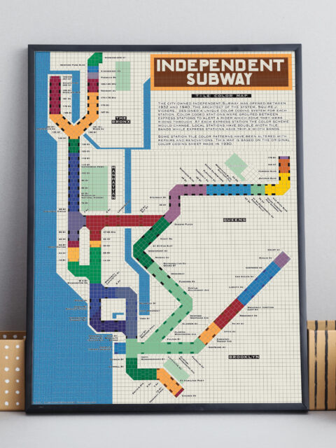
IND Tile Color Map
A unique way to visualize the NYC subway using color theory.
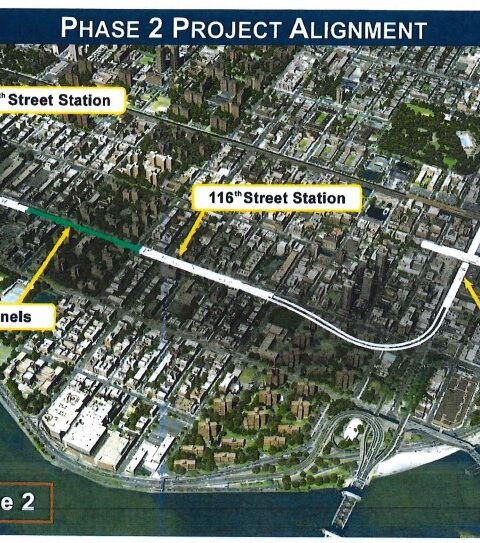
The Future of the 2nd Ave Subway: A Bronx Tail Track
Do we really need to extend the 2nd Ave Subway into the Bronx?
Updated NYC and Boston Track Maps
I’m happy to announce a new version of the New York City…
Celebrating 50 years of the Chrystie Street Connection
On November 27th, 1967 there was chaos on the New York City…
The Future of the Utica Ave Subway
For future expansion of the system we need to be open to thinking outside the box. How can build the Utica Ave Subway?

