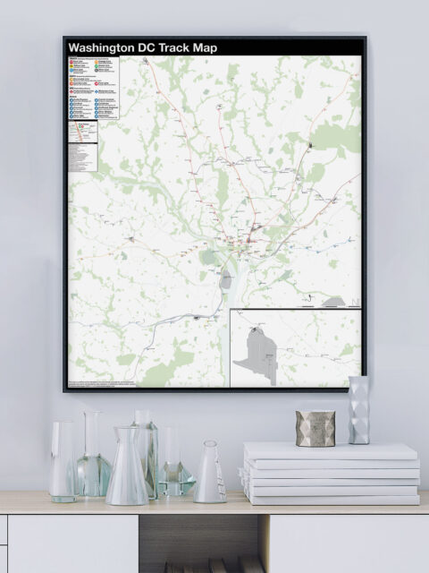
The history of the Washington, DC Metro, run by the Washington Metropolitan…
Tag: map
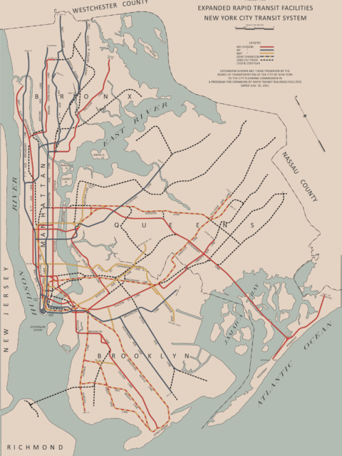
The Devolution of the IND Second System
The idea for this post came from an overlooked appendix at the…
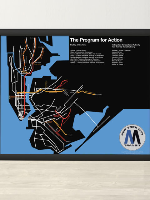
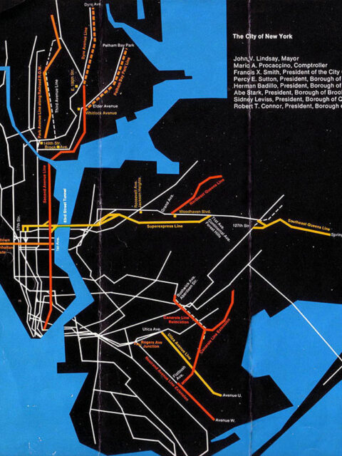
MTA Program for Action 1969 Print
A year ago, I did a deep dive into the MTA’s Program…
Serving Southeast Queens Part 3: Unbuilt Hillside and Van Wyck Lines
A look back at the unbuilt IND Van Wyck and Hillside Ave Lines.
The Last Train to Jamaica: How NYC Almost Replaced Its Els
The New York City subway is famously made up of three formerly…
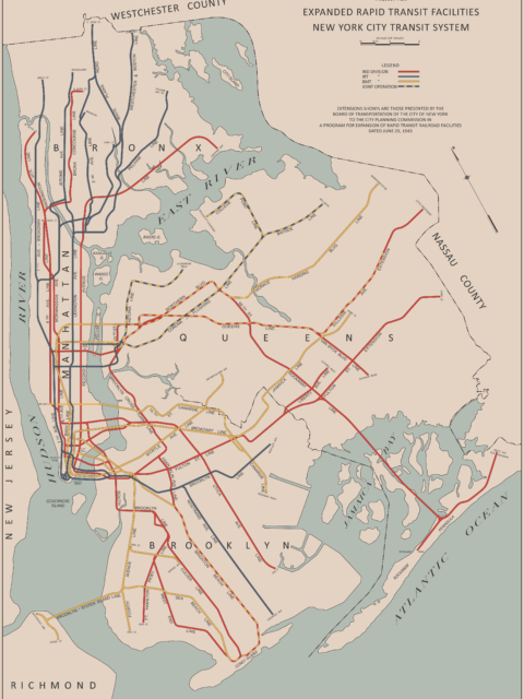
The Lost 1943 IND Second System Plan
Students of NYC subway history know this map. It is one of…
MTA Program for Action Service Guide
I recently went down a bit of a rabbit hole reading up…
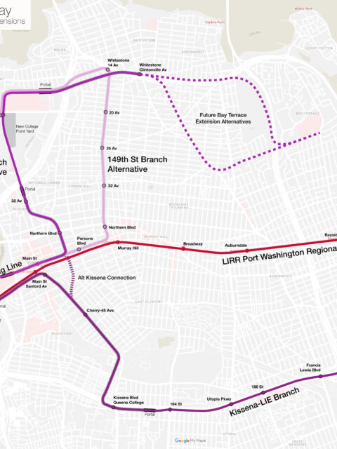
Much ado about Flushing: Regional Rail and Extending the 7 Train
A holistic proposal to enhance and expand transit into Flushing, Queens. This post was written with the Tech Transit Assn.
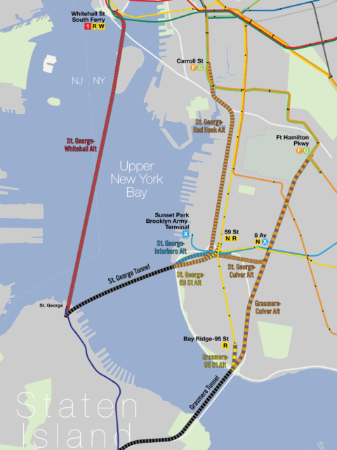
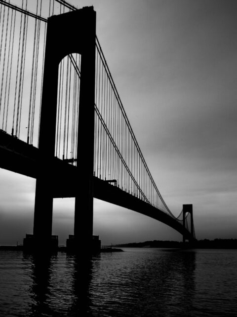
A Tunnel Too Far, Part 2: Hylan’s Dream
In the previous post I outlined the history of the many plans…
A Tunnel Too Far, Part 1: Staten Island’s Failed Pipe Dream
The first in a two-part post about the history and possible future of a subway tunnel to Staten Island.
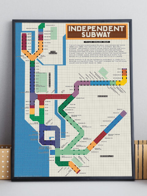
IND Tile Color Map
A unique way to visualize the NYC subway using color theory.
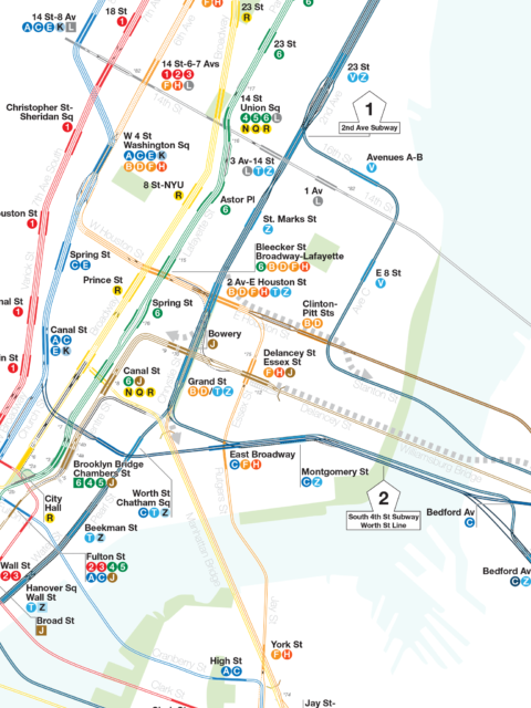
IND Second System Track Map
A detailed look at every official subway expansion proposal from 1929 until the present.

