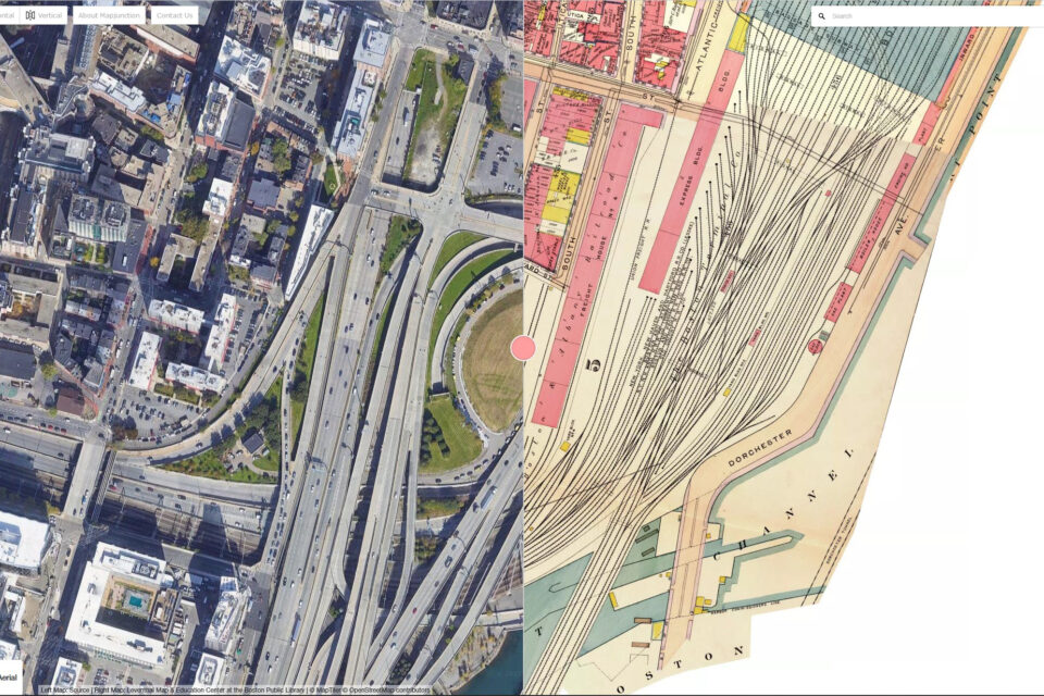
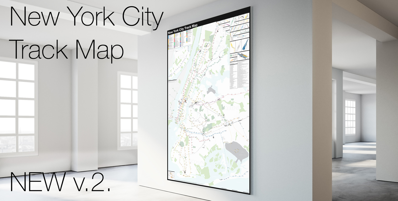
Last month I was fortunate enough to give a talk about my maps for the Center for Railroad Photography and Art. Anyone who likes this blog should be interested in the work they do.
I was asked to talk about anything, which I always hate, but I decided that now was the time to address what is my most often asked question: How I make my maps.
Now, there is no way I can properly answer this in a 45min talk. I am a self-taught cartographer, though, I studied both industrial design and geography in college. My work has evolved over the years as I learn more and more.
In my talk I give a background about how I got into mapping as a way to walk the viewer through my initial process. Then I go into more detail, showing how I start a track map.


did you delete your twitter?
Yup. I’m on Mastodon, but I don’t use it as much.